POLYNESIAN VOYAGERS; THE FIRST PACIFIC VOYAGERS

THE FIRST PACIFIC VOYAGERS

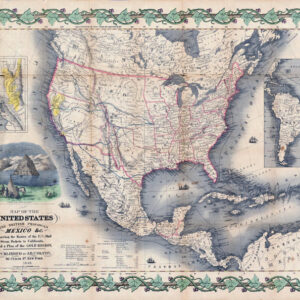
1854 COLTON MAP OF NEBRASKA & KANSAS

$25.00$185.00

Clear
SKU: N/A Category:

Description

This map Nebraska and Kansas, published by J.H. Colton & Co., New York, in 1854 is a revision of the first known map of the two territories created in that year by the firm.

This version of the map contains some minor stylistic modifications and descriptive corrections from Colton’s first 1854 map of Kansas and Nebraska. In addition, some of the incomplete features on the original map were eliminated, revised, or clarified. The map shows the Gadsden Purchase, newly acquired by the United States from Mexico.

Cartographer: G.W. Colton
Date& Place Made: 1854 – New York
Publisher: J.H. Colton & Co, 172 William St, NYC
Original Image Size: 28 x 20 in

Additional information

Standard Print Size & Type

12 x 16 Canvas, 16 x 20 Canvas, 16 x 20 Poster, 20 x 30 Canvas, 8 x 10 Canvas